Subtotal: ₹ 0

NCRTC Mapping
ABOUT THE PROJECT
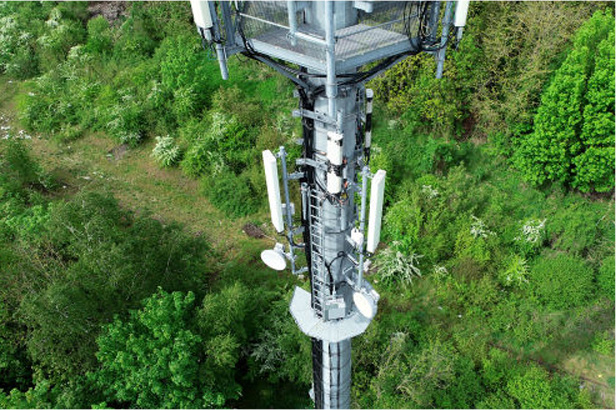
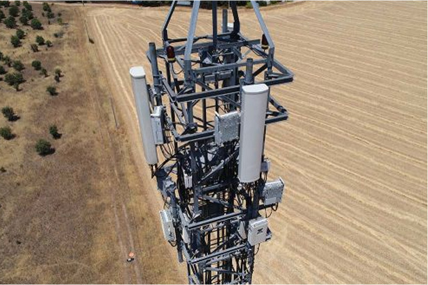
The project aimed to boost defect detection Accuracy and Efficiency for PGCIL Towers, addressing issues like Rusting, Glass Disc Damage, and More. It generated four types of reports (RGB, Thermal, LiDAR, Summary) for precise and efficient defect identification and management.
Scope of Work
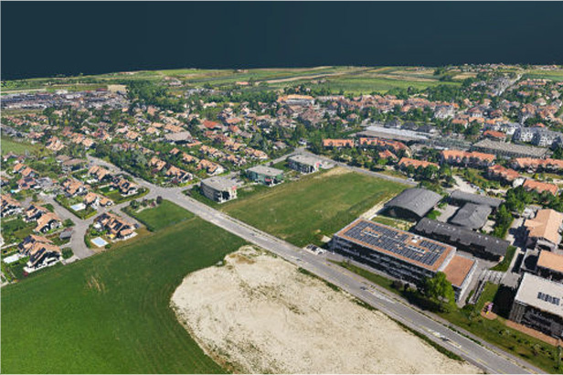
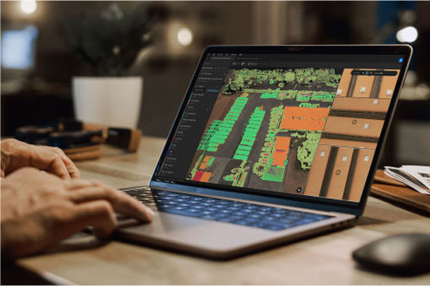
The scope of work involves conducting Aerial Videography utilizing Unmanned Aerial Vehicles (UAVs or drones) and generating Orthophoto maps and Topographical sheets through Aerial Photogrammetry. Additionally, it includes conducting Differential Global Positioning System (DGPS) surveys and Utilizing existing topographic sheets.